On the South side of Nantasket Beach is Atlantic Hill. The exposed rock along the shore shows a couple of really interesting types of volcanic rocks.
Wait! Volcanoes??? Here in the Boston area? Well, these rocks probably were formed between 550 and 570 million years ago. Look at this map and find New England. Aside from the fact that New England is near the South Pole(!!), you may notice that it's right on a subduction zone. Why is a subduction zone associated with the presence of volcanic rocks?
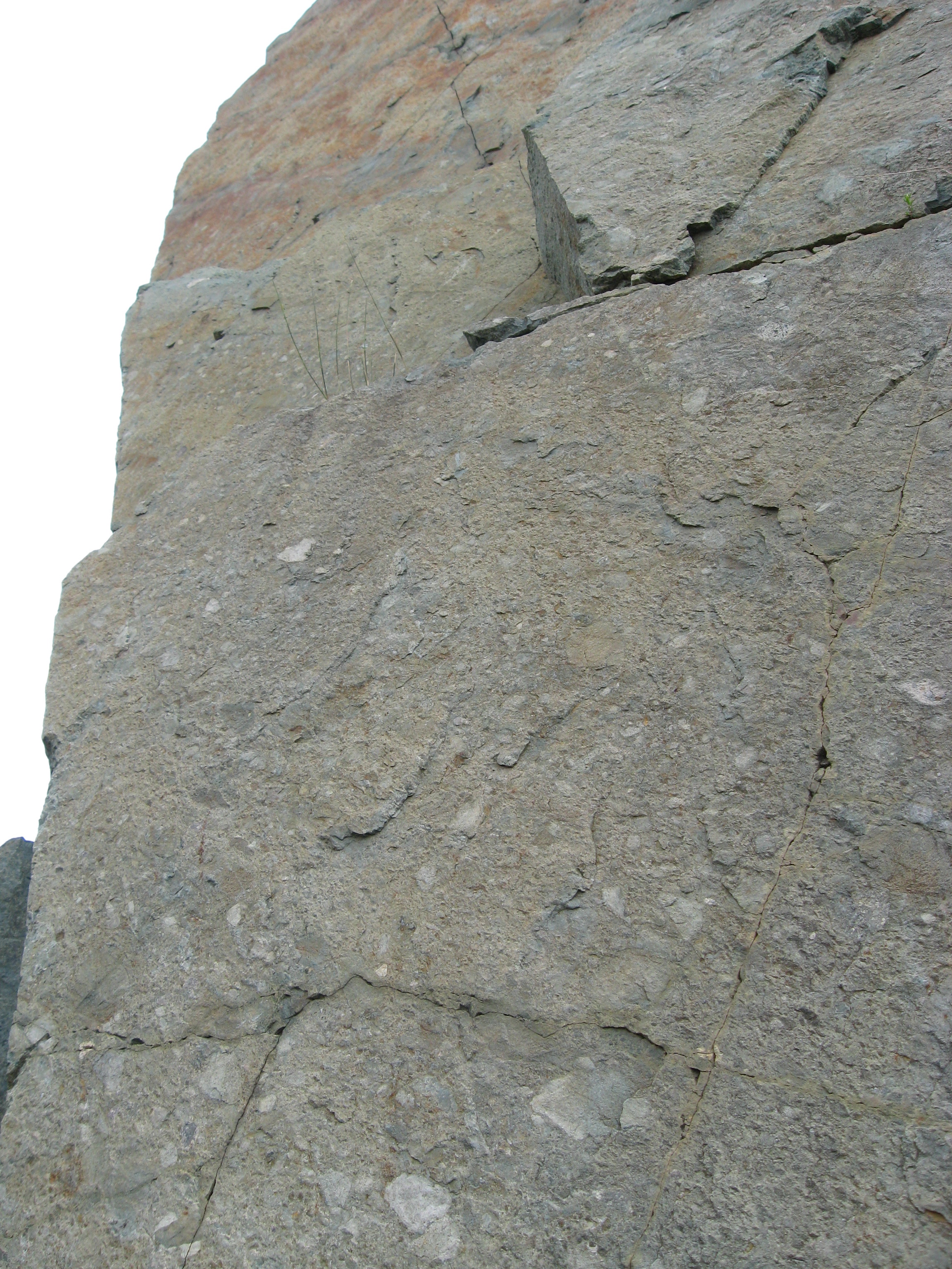
What you can see in this site are several layers of different volcanic activity. On the bottom you see andesite - a type of quickly cooling lava - that probably formed under water. You can see evidence of this in the "pillow" lava formations that occur where lava oozes into water and breaks off into rounded chunks that cool very quickly.
On top of that you see layers of tuff - rock formed from volcanic ash. Here's an interesting question - do you think tuff should be considered an igneous rock or a sedimentary rock? While it formed from volcanic ash, it is composed of piles of ash that compressed and hardened together into rock.
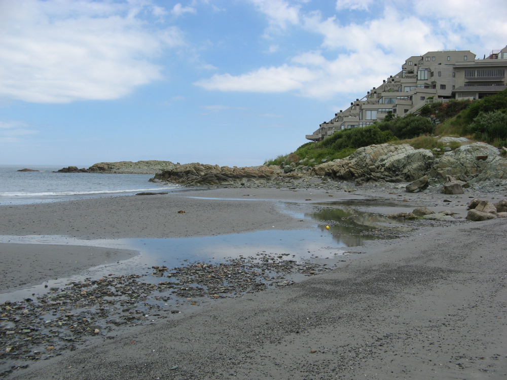
View looking South towards Atlantic Hill

View of the top of Atlantic Hill, showing layered tuff in tilted bands,
overlaying andesite lava (where "pillow" lava can be found!)
Look at the two pictures below. In the rock on the left, you'll notice an intrusion of a white mineral through the darker volcanic rock. It is sometimes hard to remember that the white line is not just a line - it's a vein, a 3-dimensional structure that extends deep into the rock.
The rock on the right shows the same kind of vein, but in this case the rock has broken along the plane that the vein ran through. Here you can easily see that the white material is a layer, not a line.