The City of Boston has grown dramatically over its 400 year history. It has grown, not just in terms of population, but in terms of land area as well. Less than 1/4 of the land in downtown is actually the original land. The rest was made land - that is, land that was created by filling in areas that were covered by water or wetlands.
The fact that Boston is mostly fill, and the fact that the bedrock under the city (even in the original land) lies under hundreds of feet of glacially-deposited clay, gravel and sand, presents challenges for constructing buildings, tunnels and other structures.
In the sidebar to the left are links to understanding the geology of Boston, as well as case studies of specific neighborhoods in downtown Boston. We have also included some engineering activities designed for middle-school students to explore some of the issues surrounding the construction challenges in Boston.
Why Here?
Boston, when it was first settled by Europeans in the early 1600's, was basically two islands separated by marsh to the mainland. The larger island, known as the Shawmut Penninsula (today's downtown), consisted of several hills. The smaller was known as Copp's Hill (today's North End). The part of the Charles River next to Boston was then an estuary - a tidal area where fresh river water and salty ocean water mix.
Look carefully at the old map to the right showing what Boston looked like in the 1640's. The shaded areas represent hills. Note that these hills are not bedrock - they are essentially large piles of rocks, gravel and sand. What geologic process might create a series of hills like this? Come up with some guesses.
If you were a geologist, how might you test your ideas about the origin of these hills? The most commonly accepted answer can be found here.
In addition, you might think about why people chose to settle here anyway. You can probably think of many disadvantages of this location. What were some advantages that led this place to become one of the first permanent European settlements? And, eventually, one of the most important cities in North America? (And it remains so today.)

Map of Boston in the 1640's. The shaded areas represent hills.
Click to enlarge
Then and Now
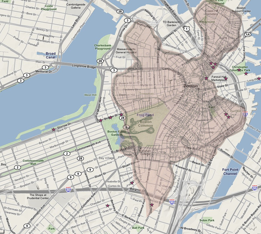
The map below is an overlay of a 1640's map on top of a map of today's downtown Boston. The stars link to photographs showing areas of interest relating to Boston geology and development.